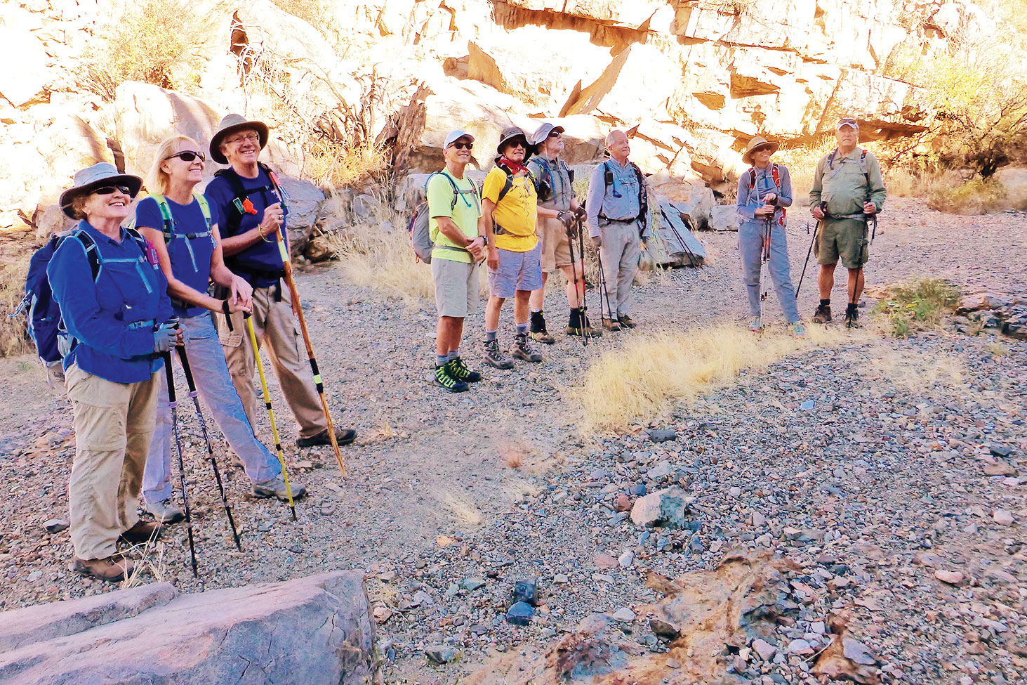
SaddleBrooke hikers looking up at the numerous petroglyphs: Myrna Simms, Joyce and Joe Maurizzi, Mike Wolters, Sy Efron, Fred Norris, Rob Simms, Margaret Valair and Dave Corrigan (missing, Sharon Simpson); photo by Elisabeth Wheeler

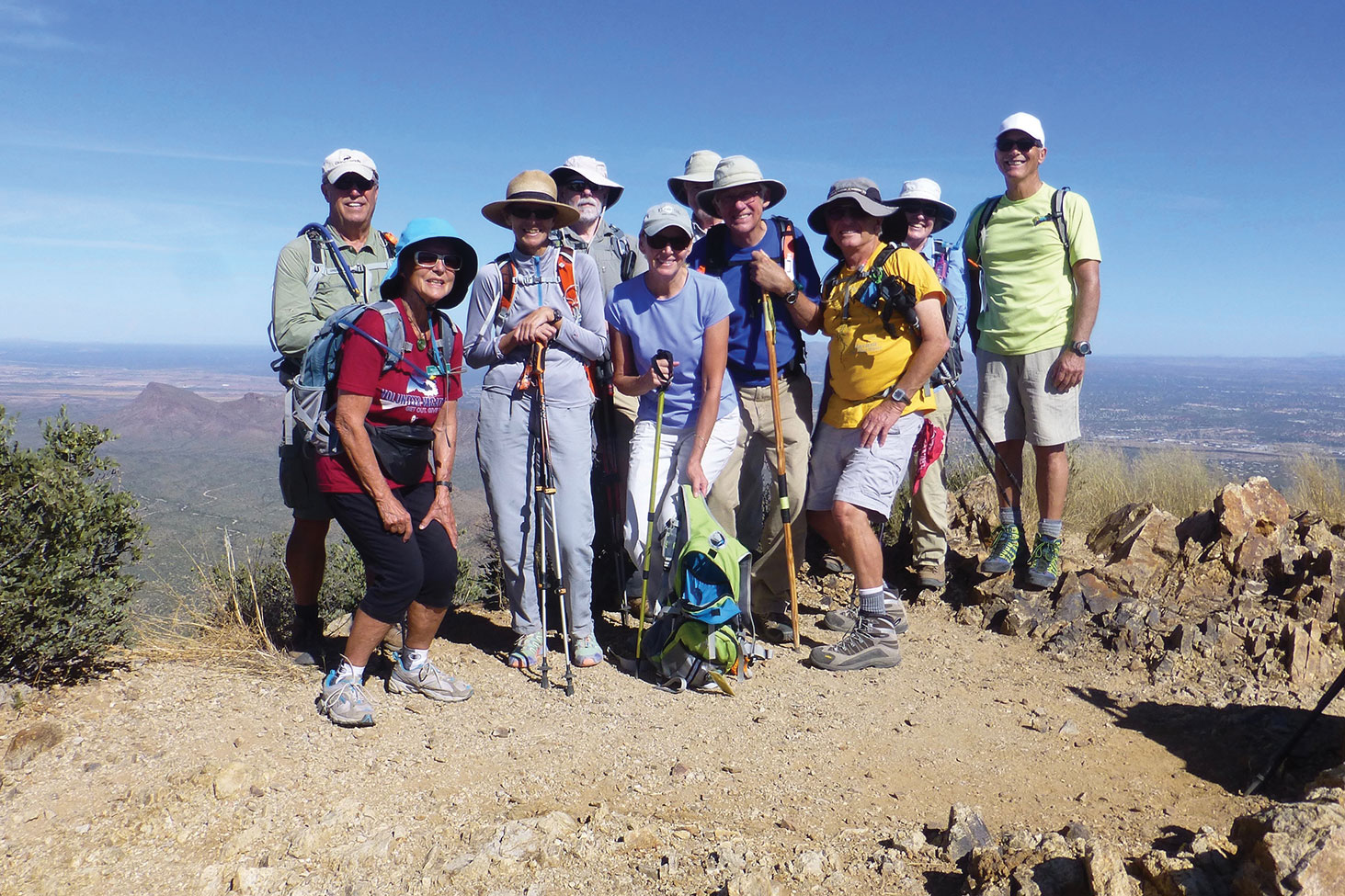
On top of Wasson Peak: Dave Corrigan, Elisabeth Wheeler, Margaret Valair, Fred Norris, Joyce Maurizzi, Rob Simms, Joe Maurizzi, Sy Efron, Myrna Simms and Mike Wolters; photo by Sharon Simpson
Elisabeth Wheeler
On one of the first cooler days of fall, eleven SaddleBrooke hikers hiked a loop in the Tucson Mountains from Kings Canyon to Wasson Peak to the Esperanza Trail and back to Kings Canyon. Hikers spent time finding and identifying several panels of petroglyphs in King Canyon. Wasson Peak provided 360 degree views for our lunch stop and group photo. The views kept changing as we continued down the Hugh Norris ridgeline to the Esperanza Trail. We checked out several mine shafts, including the Gould Mine shaft. In the early 1900s, the Gould Camp, fully equipped with a mess hall and blacksmith shop, was built near King Canyon in a contact metamorphosed zone. Copper sulfide minerals with traces of silver were successfully recovered from the mine, which had a main shaft more than 300 feet deep, a 60-foot tunnel, a 70-foot tunnel and several other smaller shafts. It was fun to speculate on why the Gould Mine was located in this rock strata.
